Navigation: Leave a Fuel Margin
Running low on fuel changes how you ride. Instead of scanning corners for gravel and oncoming traffic, your eyes lock onto the blinking reserve bars on the dash. You roll off the throttle on climbs, hesitate to take scenic side spurs, and risk arriving at a rural village pump that closed at noon on Saturday or has no power after a summer thunderstorm.
Discipline in fuel planning means resetting your trip odometer at every single fill-up—because float switches and fuel strips fail—and treating the bottom quarter of your tank as an untouchable emergency buffer rather than daily working capacity.
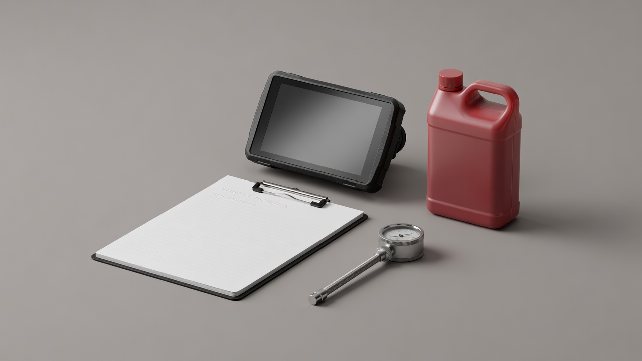
Real-World Fuel Assumption Table
Manufacturer WMTC fuel figures rarely survive touring loads. Wide panniers increase aerodynamic drag area significantly above 60 mph (96 km/h), while sustained second-gear climbs in mountain passes keep engine RPM elevated. Use the conservative working ranges below when spacing waypoints across sparse corridors such as U.S. Route 50 in Nevada, the James Bay Road in Quebec, or remote Highland glens.
| Touring Machine Class | Usable Tank Volume | Calm Highway Consumption | Loaded / Headwind / Mountain Consumption | Safe Working Stage (75% Rule) |
|---|---|---|---|---|
| Lightweight Dual-Sport / Scrambler 300cc – 500cc Single/Twin |
11.0 – 13.5 L (2.9 – 3.5 US gal) |
3.6 L / 100 km (65 US mpg) |
4.4 L / 100 km (53 US mpg) |
185 – 225 km (115 – 140 mi) |
| Middleweight Sport-Tourer / Naked 650cc – 900cc Twin/Triple |
15.0 – 17.5 L (4.0 – 4.6 US gal) |
4.6 L / 100 km (51 US mpg) |
5.6 L / 100 km (42 US mpg) |
200 – 235 km (125 – 145 mi) |
| Full-Size Adventure / Boxer Tourer 1000cc – 1300cc w/ Aluminium Boxes |
19.0 – 21.0 L (5.0 – 5.5 US gal) |
5.1 L / 100 km (46 US mpg) |
6.3 L / 100 km (37 US mpg) |
225 – 250 km (140 – 155 mi) |
| Expedition / Long-Range Tank Spec Auxiliary or Oversize Tank |
27.0 – 30.0 L (7.1 – 7.9 US gal) |
5.4 L / 100 km (43 US mpg) |
6.6 L / 100 km (35 US mpg) |
305 – 340 km (190 – 210 mi) |
Verify Your Tank's Working Stage Margin
Enter your motorcycle's actual usable fuel capacity and normal loaded consumption to compute a conservative 75% refuel interval.
The Three-Layer Navigation Architecture
Modern riders often debate dedicated motorcycle GPS units (such as the Garmin zūmo XT2 or ruggedized DMD tablets) versus handlebar-mounted smartphones running GPX apps. In practice, resilient touring relies on three complimentary layers that cover each other's weaknesses:
- Layer 1: Hardwired Cockpit Navigator (Primary Guidance). Powered directly from a switched 12V accessory circuit with positive locking pins, an IPX7 weather seal, and a glove-friendly transflective display that does not dim in 35°C direct sunlight. Load both your main GPX track and your foul-weather valley bypass track so both are visible on screen simultaneously.
- Layer 2: Pocket Smartphone with Vibration Isolation (Research & Backup). Kept dry inside an interior jacket pocket or mounted only on a high-grade elastomer vibration damper to protect optical image stabilization (OIS) camera sensors. Pre-download offline regional maps (such as Organic Maps or OsmAnd) so you can search for pharmacies, tyre shops, or 24-hour unmanned card pumps without cellular service.
- Layer 3: The Tank-Bag Paper Route Card (Zero-Power Failsafe). A single index card or A5 sheet inside a waterproof map window listing the day's sequence of route numbers, junction towns, intermediate distances, and your overnight lodge's street address and phone number. If an electrical fuse blows in heavy rain, you keep riding calmly without stopping on a narrow shoulder.
Once your route and fuel intervals are verified, review how to organize tools, spares, and clothing in our Packing Priorities dispatch.